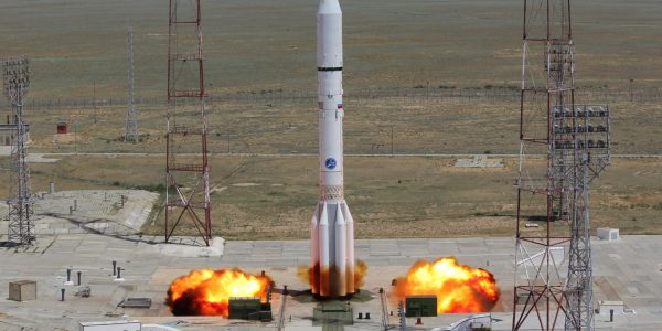
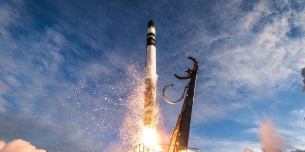
Rocket Lab | Electron | iQPS Launch 2 Rocket Launch
Synthetic aperture radar Earth observation satellite for Japanese Earth imaging company iQPS.
Northrop Grumman Space Systems | Minotaur IV | EWS OD-1 Rocket Launch
The Electro-Optical/Infrared Weather System (EWS) Operational Demonstration-1 (OD-1) is a weather satellite for the United States Space Force. It is a prototype satellite made by General Atomics that will be place in LEO for a three-year demonstration mission of new EO/IR sensor technologies to various US military branches, and to act as a stop-gap for Defense Department needs for weather data.
Japan Aerospace Exploration Agency | H-IIA 202 | GOSAT-GW Rocket Launch
GOSAT-GW (Greenhouse Gases Observing Satellite Greenhouse gases and Water cycle), formerly known as GOSAT 3, is JAXA’s next generation satellite to monitor the greenhosue gases like carbon dioxide in the Earth’s atmosphere. It is the follow on to the GOSAT 2 (Ibuki 2) and GCOM-W (Shizuku) missions.
GOSAT-GW will have two missions: greenhouse gases observation for Japan’s Ministry of the Environment and the National Institute for Environmental Studies (NIES), and water-cycle observation for JAXA. By developing the GOSAT-GW satellite, Mitsubishi Electric will contribute to measures for preventing disasters attributed to global warming and climate change, and to advance scientific and technological methods that enable more accurate prediction of climate change.
In December 2013, Mitsubishi Electric (MELCO) was selected as the prime contractor for the spacecraft and the instruments.
Rocket Lab | Electron | 6x HawkEye 360 Rocket Launch
HawkEye 360 is a a space-based civil global intelligence satellite network using radio frequency (RF) technology to help monitor transportation across air, land and sea and assist with emergencies, and to provide civil SIGINT (Signal Intelligence) mission.
The constellation of small satellites (named Hawk ) will collect information on specific radio signals worldwide to provide high-precision radio frequency mapping and analytics from Low Earth orbit (LEO).
Rocket Lab | Electron | BlackSky Gen-3 2 Rocket Launch
BlackSky Gen-3 Earth-imaging satellites
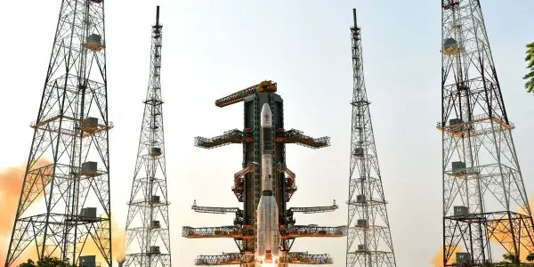
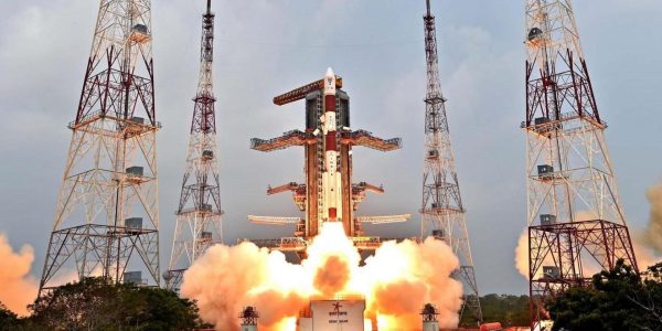
Indian Space Research Organization | GSLV Mk II | NISAR (NASA-ISRO Synthetic Aperture Radar) Rocket Launch
The NASA-ISRO Synthetic Aperture Radar, or NISAR satellite, will use advanced radar imaging to map the elevation of Earth’s land and ice masses 4 to 6 times a month at resolutions of 5 to 10 meters. It is designed to observe and measure some of the planet’s most complex natural processes, including ecosystem disturbances, ice-sheet collapse, and natural hazards such as earthquakes, tsunamis, volcanoes and landslides.
Under the terms of the agreement, NASA will provide the mission’s L band synthetic aperture radar (SAR), a high-rate telecommunication subsystem for scientific data, GPS receivers, a solid-state recorder, and a payload data subsystem. ISRO will provide the satellite bus, an S band synthetic aperture radar, the launch vehicle, and associated launch services.
Russian Federal Space Agency (ROSCOSMOS) | Soyuz 2.1b/Fregat-M | Ionosfera-M 3 & 4 Rocket Launch
Ionosfera is a constellation of four ionospheric and magnetospheric research satellites developed by for Roscosmos for the project Ionozond.
The satellites will operate on circular sun-synchronous orbits (SSO), at altitude of about 800 km and located in two orbital planes of two satellites each.
The following science instruments are carried on the satellites:
* SPER/1 Plasma and energy radiation spectrometer
* SG/1 Gamma-ray spectrometer
* GALS/1 Galactic cosmic ray spectrometer / 1
* LAERTES On-board Ionosonde
* NBK/2 Low-frequency wave complex
* ESEP Ionospheric plasma energy spectrometer
* Ozonometer-TM Ozonometer
* MayaK On-board radio transmitters
* PES GPS-GLONASS device
SpaceX | Falcon 9 Block 5 | MTG-S1 Rocket Launch
Second of EUMETSAT’s third generation of weather satellite.
Arianespace | Vega-C | CO3D & MicroCarb Rocket Launch
CO3D is a CNES-Airbus Defence & Space constellation of four small satellites designed to map the globe in 3D from low Earth to serve public and private sector needs. Microcarb is a small satellite designed to map sources and sinks of carbon dioxide (CO2)—the most important greenhouse gas — on a global scale.