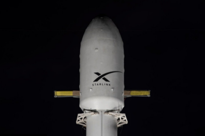
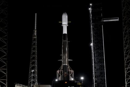
A batch of 24 satellites for the Starlink mega-constellation - SpaceX's project for space-based Internet communication system....
A batch of 24 satellites for the Starlink mega-constellation - SpaceX's project for space-based Internet communication system....

A batch of 24 satellites for the Starlink mega-constellation - SpaceX's project for space-based Internet communication system....
AST SpaceMobile’s Block 2 BlueBird satellites are designed to deliver up to 10 times the bandwidth capacity of the BlueBird Block 1 satellites, required to achieve 24/7 continuous cellular broadband s...

Second test flight of the Isar Spectrum launch vehicle. This launch will carry 5 cubesats and 1 non-separable experiment as part of European Space Agency (ESA)'s “Boost!” program: * CyBEEsa...

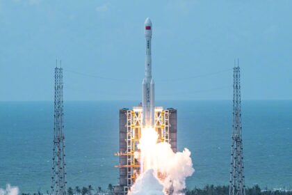
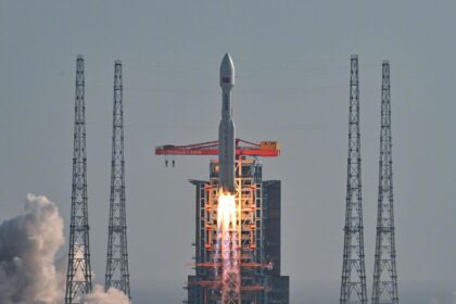
QZSS (Quasi Zenith Satellite System) is a Japanese satellite navigation system operating from inclined, elliptical geosynchronous orbits to achieve optimal high-elevation visibility in urban canyons a...

A batch of 24 satellites for the Starlink mega-constellation - SpaceX's project for space-based Internet communication system....