Tag: IND
-

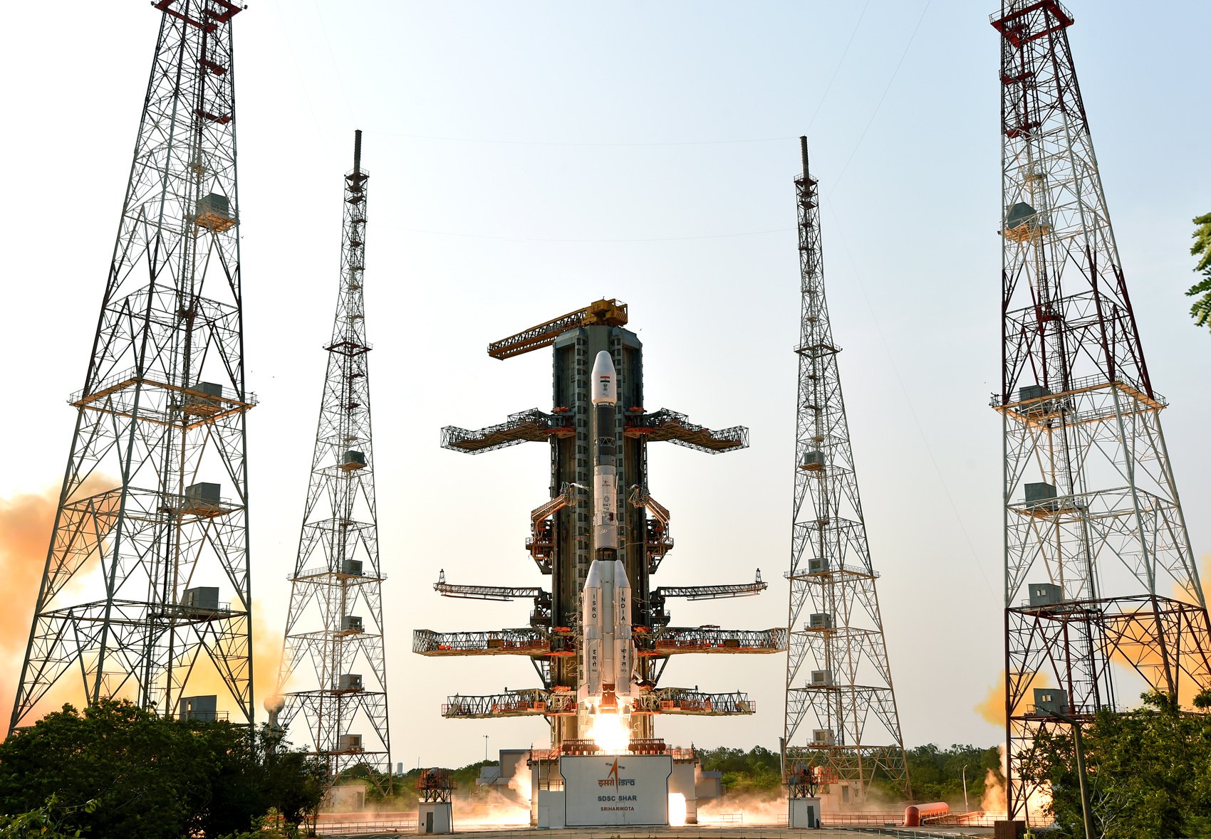
Indian Space Research Organization | GSLV Mk II | GISAT-2
GISAT 2 (GEO Imaging Satellite) is an Indian earth observing satellite operating from geostationary orbit to facilitate continuous observation of Indian sub-continent, quick monitoring of natural hazards and disaster.
-

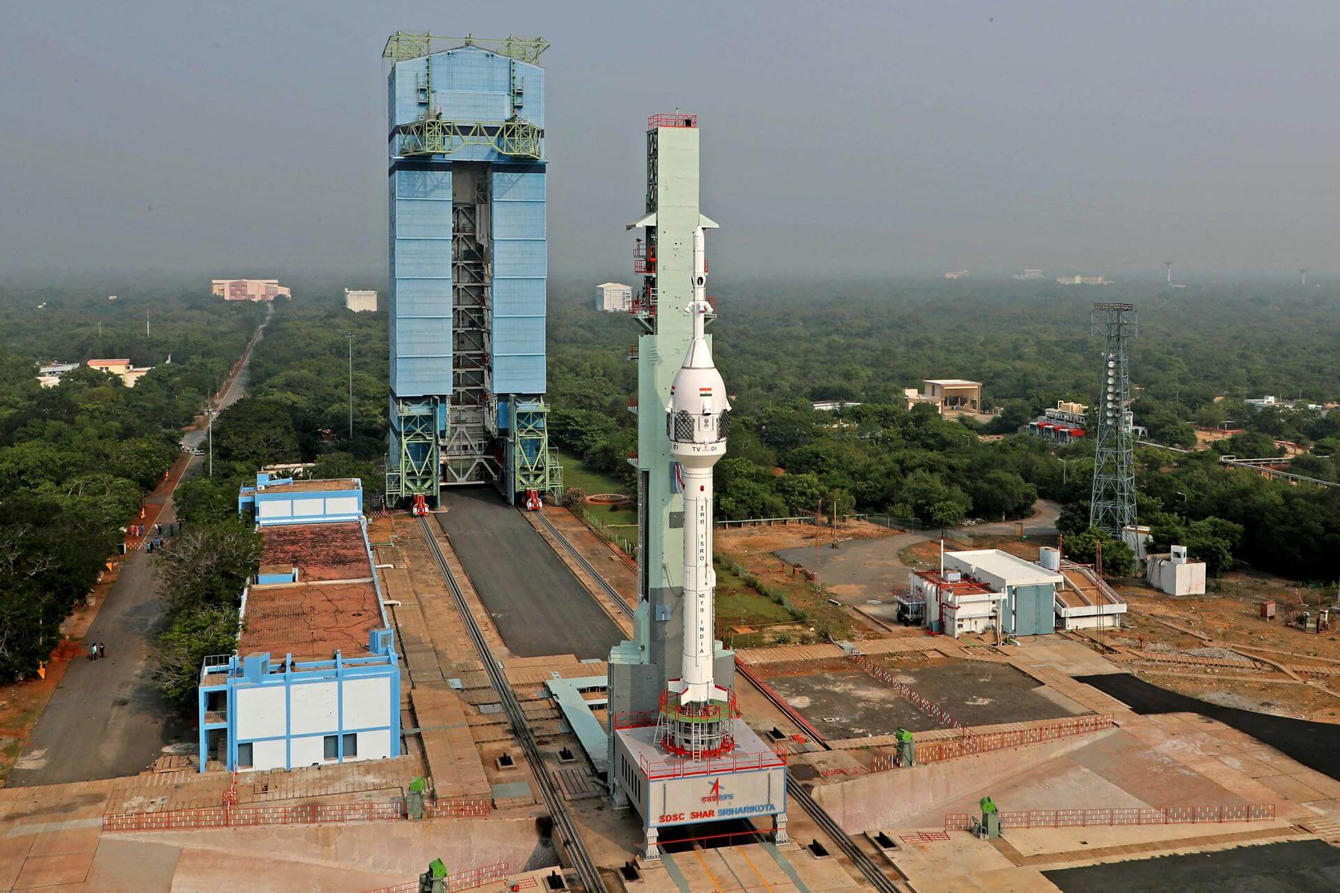
Indian Space Research Organization | Gaganyaan Abort Test Booster | TV-D2
The second inflight abort test of the Gaganyaan program.
-

Indian Space Research Organization | GSLV Mk II | GSAT-7C
Communications Satellite for the Indian Air Force.
-

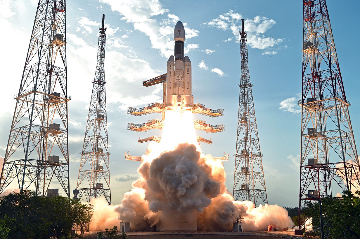
Indian Space Research Organization | LVM-3 | Gaganyaan-1
First uncrewed orbital test flight of the Gaganyaan capsule.
-

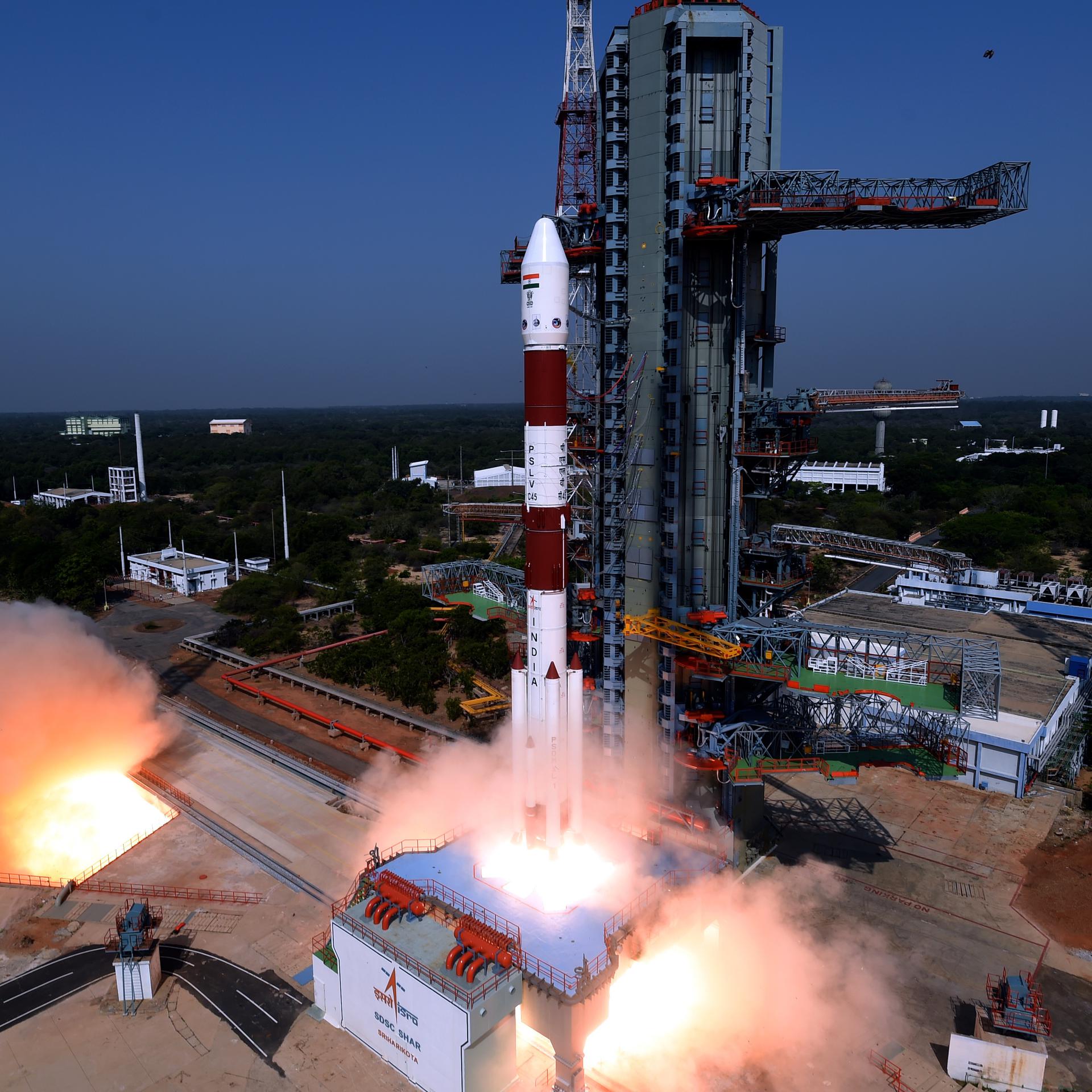
Indian Space Research Organization | PSLV | Proba-3
Proba-3 (Project for On-Board Autonomy 3) is the first close formation flying mission for the European Space Agency (ESA). It consists of two independent, three-axis stabilised spacecraft flying 150 meters from one another with the ability to accurately control the attitude and separation of the two craft. Such formation flying will be maintained for 6…
-

Indian Space Research Organization | PSLV | TDS-01
TDS-01 (Technology Demonstration Satellite-01) is an Indian geostationary orbit technology demonstration satellite carrying payloads for the Indian Space Research Organisation (ISRO)’s Institute of Plasma Research, Gandhinagar and the CSIR-CEERI, Pilani. Payloads to be tested included an internally developed 300 mN electric powered thrusters, atomic clocks, travelling wave tube amplifiers (TWTA) & a quantum…
-

Indian Space Research Organization | GSLV Mk II | NISAR (NASA-ISRO Synthetic Aperture Radar)
The NASA-ISRO Synthetic Aperture Radar, or NISAR satellite, will use advanced radar imaging to map the elevation of Earth’s land and ice masses 4 to 6 times a month at resolutions of 5 to 10 meters. It is designed to observe and measure some of the planet’s most complex natural processes, including ecosystem disturbances, ice-sheet…