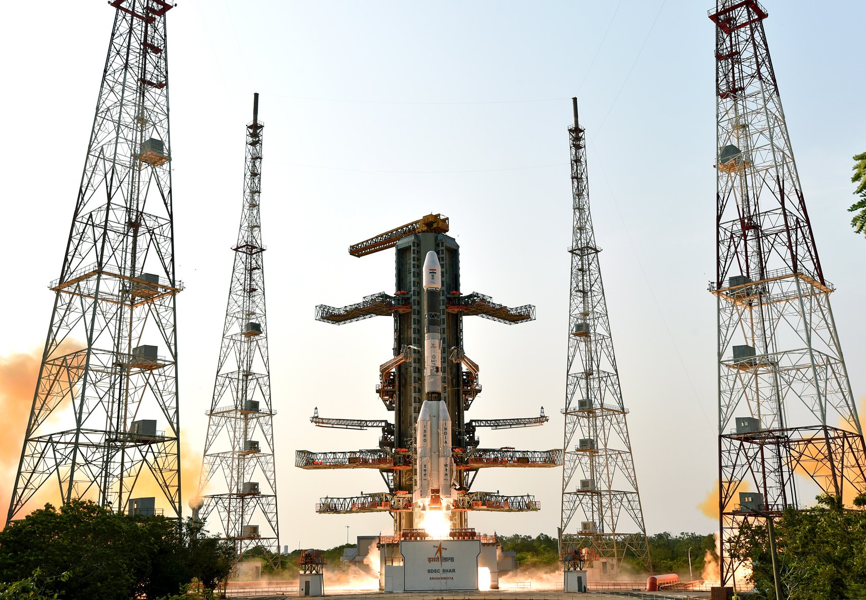
Tag: GSLV Mk II
-

Indian Space Research Organization | GSLV Mk II | GSAT-7C
Communications Satellite for the Indian Air Force.
-

Indian Space Research Organization | GSLV Mk II | GISAT-2
GISAT 2 (GEO Imaging Satellite) is an Indian earth observing satellite operating from geostationary orbit to facilitate continuous observation of Indian sub-continent, quick monitoring of natural hazards and disaster.
-

Indian Space Research Organization | GSLV Mk II | NISAR (NASA-ISRO Synthetic Aperture Radar)
The NASA-ISRO Synthetic Aperture Radar, or NISAR satellite, will use advanced radar imaging to map the elevation of Earth’s land and ice masses 4 to 6 times a month at resolutions of 5 to 10 meters. It is designed to observe and measure some of the planet’s most complex natural processes, including ecosystem disturbances, ice-sheet…